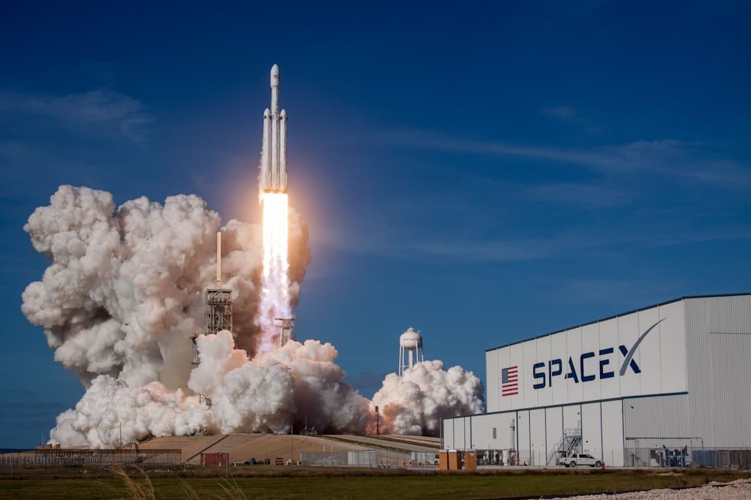
SpaceX closed its greenshoe option on Friday, bringing total IPO proceeds to $85.7 billion—the largest public offering in history by a factor of three. The company raised $75 billion initially and targeted a $1.75 trillion valuation, surpassing Saudi Aramco's 2019 record of $29.4 billion by more than 2.5 times.
Shares priced at $135 on June 11 and began trading on Nasdaq under ticker SPCX on June 12, with the offering closing June 15. The scale is staggering, but the real story sits 550 kilometers overhead, where a different kind of space race is unfolding.
While SpaceX's Starlink constellation dominates headlines— over 10,400 satellites in orbit as of June 1, according to astronomer Jonathan McDowell —a parallel ecosystem of Earth observation companies is proving that you don't need a $2 trillion war chest to monitor the planet. By 2026, Earth observation has evolved from a niche scientific discipline into a core pillar of global decision-making, with governments, enterprises, and researchers relying on satellite-derived intelligence to manage resources, monitor infrastructure, and respond to crises in near real time, driven by rapid advancements in satellite technology, artificial intelligence, and cloud computing. The question is whether these smaller players can carve out defensible niches before the giants swallow the market whole.
Can Millimeter Precision Compete With Planetary Scale?
The technology gap is narrowing fast. IonQ launched a commercial InSAR capability in May that provides automated, high-frequency monitoring of ground deformation from space, with millimeter-level measurement accuracy and a three-day revisit cycle using its SAR satellite constellation. InSAR—Interferometric Synthetic Aperture Radar—measures ground movement by comparing radar images taken at different times. A 2025 study over Mexico City measured deformation rates exceeding 70 centimeters per year using 18 acquisitions over a seven-week period, establishing a new commercial benchmark for urban subsidence monitoring.
That precision matters for energy infrastructure. InSAR is used to monitor ground surface displacement in industries like mining, civil engineering, oil and gas, and water resource management, tracking ground stability in pits and tailings dams.
Time-series InSAR enables precise, wide-area ground deformation monitoring but suffers from decorrelation and heavy computation with large archives of satellite imagery; one study applied temporal dimension image compression to 199 Sentinel-1 scenes covering the Jinchuan mining area in China from March 2017 to May 2024. The ability to detect millimeter-scale shifts before a tailings dam fails or a pipeline buckles is worth far more than the subscription cost.
Hyperspectral imaging is pushing the envelope further. Unlike conventional multispectral sensors that capture a handful of broad bands, hyperspectral satellites record hundreds of narrow, contiguous spectral bands spanning from the visible to the shortwave infrared, allowing extraction of detailed chemical and physical information from land, crops, forests, and mining prospects.
Farmonaut claims its platform allows mining companies to screen vast areas for mineral potential in days, slashing traditional discovery timelines and costs by up to 80–85 percent, with every mineral—lithium, copper, gold, rare earths—leaving its mark in the hyperspectral data.
The oil and gas sector is already integrating these tools. A recent study proposed a deep learning architecture that processes high-resolution 30-centimeter satellite imagery from Maxar to identify facility outlines and key on-site equipment, achieving 93 percent accuracy for facility identification with as few as 260 positive training samples.
Satellite deep-learning–based detection identifies more facilities, with greater detail and specificity than current regulatory reporting programs. When methane plumes appear in satellite data, knowing exactly which wellhead is responsible becomes a compliance issue—and a liability.