Three days in Houston, 150-plus technical sessions, and one recurring theme: the energy industry is betting heavily on geospatial technology to navigate a world where infrastructure decisions can't afford to be wrong. The Esri Energy Resources GIS Conference wrapped May 20 at the George R. Brown Convention Center, drawing pipeline operators, renewable developers, and oil and gas professionals who increasingly rely on spatial data to make sense of sprawling, aging, and rapidly evolving networks.
The timing matters. WTI crude traded at $71.50 per barrel on May 21, up 0.6% , according to market data, while the IEA warned that oil markets could hit a "red zone" by July or August as inventories fall and Middle Eastern supply disruptions persist, Reuters reported. Against that backdrop, energy companies are turning to ArcGIS Pro, Python automation, and digital twin platforms not as novelties but as operational necessities. When physical supplies through the Strait of Hormuz are 95% below regular levels , per MarketWatch, knowing exactly where your pipelines run, how much capacity they have, and which routes can absorb rerouted flows becomes existential.
Can Desktop GIS Handle What's Coming?
The short answer, according to industry practitioners, is no—not alone. Continuous streams of satellite imagery, smart city sensor logs, LiDAR scans, and mobile telemetry are generating petabytes of information daily, and the sheer volume of spatial data being generated globally has simply outgrown traditional on-premise storage capabilities , GISuser reported in April. Traditional approaches like PostGIS and desktop GIS do not scale, while modern data warehouses such as Snowflake and BigQuery added spatial as a feature, not a foundation , according to Wherobots, a spatial data processing platform.
That's pushing energy firms toward cloud-native geospatial workflows. The ERGIS conference highlighted the latest updates in ArcGIS for imagery, digital twin capabilities, and AI-assisted spatial analytics , Esri announced. GIS, cloud, and AI together are transforming how energy companies operate, with ArcGIS connecting field and office environments through a unified digital workflow platform for operational efficiency , according to the conference plenary session.
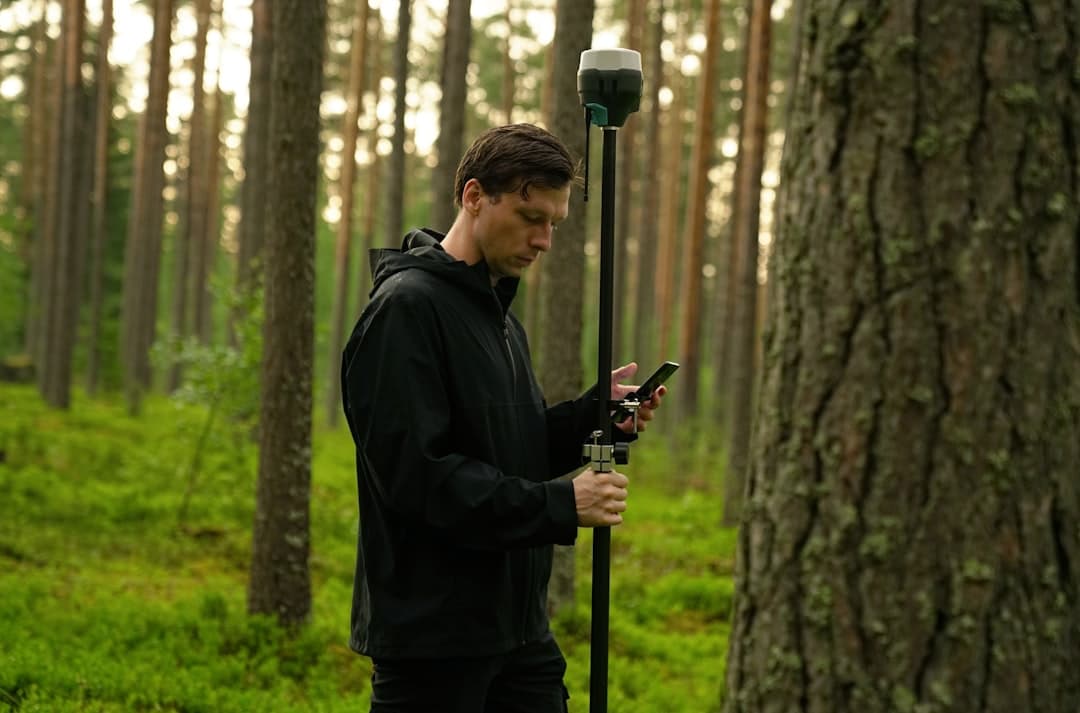
The practical applications are immediate. IQGeo's AI-powered geospatial software mobilizes data from GIS and enterprise asset management systems into applications that work both online and offline, addressing the fact that many utilities are already taking hundreds or thousands of images of their assets during inspections or outages but failing to effectively leverage the data in those images , Adrian McNulty, Vice President of Utility Solutions at IQGeo, told Renewable Energy World at DTECH 2026 in February. Field workers often bounce between multiple applications while disseminating complicated data, making their jobs harder than necessary.
What About the Python Problem?
Automation is the other half of the equation. ArcPy, the robust Python library designed for ArcGIS, converts tedious geoprocessing tasks into neat, reusable code, helping save time and enhance productivity, and offers more than just an easy way to create buffers and clips , according to GISRSStudy. Many workflows in GIS consist of repetitive tasks, and geoprocessing tools can be run using the Geoprocessing pane in ArcGIS Pro, but they are also available in Python as functions of ArcPy, allowing automation of repetitive geoprocessing tasks using a Python script , Esri's documentation notes.
For energy companies managing thousands of wells, hundreds of miles of pipeline, or sprawling transmission networks, that automation isn't optional. ArcGIS offers various automation tools and integrates easily with other business systems that provide additional automation solutions to help maintain critical business workflows, with one electric company seamlessly integrating automation into its workflows using ArcGIS Utility Network, ArcGIS Notebooks, and ServiceNow , Esri demonstrated in March 2025. The company uses service webhooks that trigger whenever a service updates, automatically auditing reported outages, identifying potential network components causing the outage, and creating work orders.
The mining sector is following a similar path. In 2025, geospatial analysis is centrally positioned for pinpointing potential locations by bringing together geological, geochemical, geophysical, and topographical data sets, with companies incorporating airborne magnetic, geophysical data, and high-resolution topographical maps to pinpoint ore locations and differentiate subtle geological formations with high precision , according to Farmonaut, a geospatial analysis platform. Botswana Minerals reported in May that an AI-assisted exploration study discovered 36 copper anomalies within two of its eight northern Botswana licences , Mining Technology reported.