Oil & Gas · Analysis
How is thermal satellite imaging used to monitor energy infrastructure and emissions?
Thermal satellite imaging detects heat signatures from space to monitor energy facilities, identify gas leaks, track emissions, and assess infrastructure performance without physical contact.
Stake & Paper Editorial TeamJune 3, 2026
Thermal satellite imaging measures infrared radiation naturally emitted by the Earth's surface, allowing sensors to detect temperature variations and infer surface conditions from space.
Unlike optical imagery which only shows the outline of structures, thermal images reveal what is happening inside facilities—whether a factory is operational and potentially what processes are taking place.
This capability has made thermal imaging an increasingly important tool for monitoring energy infrastructure and emissions across the oil, gas, and power sectors.
Key Points
- Thermal satellites detect infrared radiation emitted by objects based on their temperature, enabling day and night monitoring
- Energy companies use thermal imaging to monitor facility operations, detect equipment malfunctions, and identify heat loss
- Satellites can identify gas flaring, methane leaks, and thermal pollution from power plants
High-resolution thermal satellites now capture heat variations at resolutions up to 3.5 meters
- Thermal imaging complements other monitoring methods like optical and radar imagery for comprehensive infrastructure oversight
Understanding Thermal Satellite Imaging
Infrared satellite imagery captures electromagnetic radiation in the infrared spectrum (0.7 to 14 micrometers), with infrared sensors identifying thermal radiation released by objects rather than reflected light, allowing observation of temperature changes, heat flow, and energy balance.
Thermal imaging operates specifically in the thermal infrared band within the 8-14 micrometer longwave infrared (LWIR) and 3-5 micrometer midwave infrared (MWIR) ranges, which align with natural emission from Earth's surface materials and fall within the atmospheric window where radiation passes through with minimal absorption.
All objects above absolute zero temperature emit infrared radiation, and the warmer an object is, the more thermal radiation it emits, allowing objects to be distinguished via thermal imaging even at night without visible light.
This fundamental principle makes thermal satellites particularly valuable for continuous monitoring of energy infrastructure.
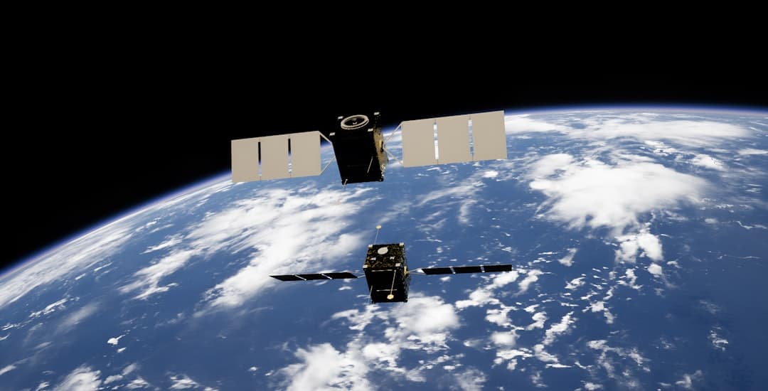
The first commercially available high-resolution thermal infrared imaging satellite, HotSat-1, is designed to track heat variations from industries and infrastructure, providing insights into energy efficiency and environmental monitoring.
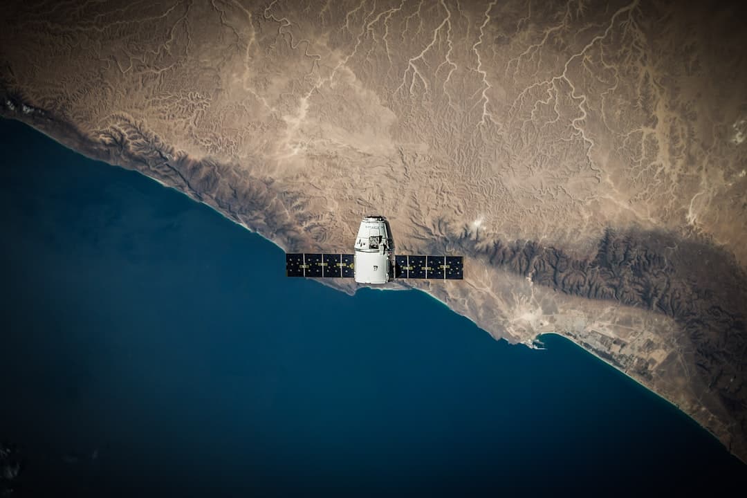
New commercial satellites record thermal signatures of buildings, infrastructure, and natural environments at approximately 3.5-meter resolution, during both day and night.
How It Works
1. Thermal Radiation Detection:
Thermal radiation from ground objects is measured using thermal bands in satellite sensors.
Thermal sensors detect emitted radiant energy, typically operating in the 3 to 5 micrometer or 8 to 14 micrometer range due to atmospheric effects.
The sensors convert this radiation into temperature data that reveals heat patterns on the ground.
2. Image Processing and Analysis:
Thermal cameras measure thermal radiation and provide interpreted estimates of emission, reflection, and transmission components.
The raw thermal data is processed into images where different temperatures appear as different colors or brightness levels, making hot spots and temperature anomalies immediately visible to analysts.
3. Infrastructure Monitoring Applications:
Thermal imaging can monitor oil storage facilities and pipelines, providing insights on operating capacity and ensuring industrial regulations are being adhered to.
Satellites equipped with infrared and hyperspectral sensors can detect changes in thermal patterns, enabling early identification of leaks, with continuous monitoring ensuring rapid response.
4. Emissions Detection: For methane monitoring, satellites use a different approach.
Using imaging spectrometers, satellites detect methane by identifying its spectral fingerprint in reflected sunlight, as methane absorbs certain infrared wavelengths, creating a signature pattern of light.
Shortwave infrared (SWIR) methane absorption bands are essential for identifying methane plumes from space.
5. Gas Flaring Detection:
Satellites identify bright spots on Earth which are compared with high-temperature readings, with flares being among the hottest objects on Earth, sometimes burning hotter than volcanoes.
The VIIRS Nightfire product is the only heat anomaly product which provides subpixel attributes and temperature for each detection.
Why It Matters
Thermal satellite imaging addresses critical challenges in energy infrastructure management and environmental monitoring.
Frequent satellite revisits allow near-daily data collection, aiding industrial activity monitoring and energy management, helping identify areas of energy loss and supporting sectors in managing environmental and energy-related challenges.
Thermal infrared satellites serve as indispensable tools for monitoring urban heat stress, industrial energy waste and pollution, wildfires and other climate events in near real-time.
The technology enables detection of problems that would be difficult or impossible to identify through traditional inspection methods.
Emissions come from leaky pipelines, malfunctioning equipment, or deliberate venting, with some incidents lasting only hours or days while many persist for months or years if not detected, and finding and fixing these leaks can rapidly reduce methane emissions.
Global upstream oil and gas flaring was estimated at 148 billion cubic meters in 2023 based on satellite observations, with accurate monitoring being critical as both lit and unlit flares release greenhouse gases and pose health risks.
Related Terms
Thermal Infrared (TIR): The portion of the infrared spectrum (typically 8-14 micrometers) where objects at Earth's surface temperatures emit the most radiation, used for temperature mapping and detecting thermal anomalies.
Shortwave Infrared (SWIR): The 1.3-3 micrometer infrared band used primarily for detecting methane and other gases through their absorption signatures rather than thermal emission.
VIIRS Nightfire: A satellite product that detects high-temperature combustion sources globally, widely used for tracking gas flaring from oil and gas operations.
Optical Gas Imaging (OGI): A technique using infrared cameras to visualize gas leaks by detecting the infrared absorption characteristics of specific gases like methane.
Frequently Asked Questions
Can thermal satellites detect all types of gas leaks?
Thermal satellites are most effective at detecting large methane emissions and gas flaring.
Analysis of industry data shows satellites can miss smaller emissions, with one study finding industry reported 2.2 times more flaring than satellites estimated across more than 14 times as many sites.
Enclosed flares installed at facilities are not showing up on satellite data, as the detection system relies on comparing heat signatures with bright spots of light visible from space.
Ground-based and aerial methods remain necessary for detecting smaller leaks.
How does thermal imaging differ from optical satellite imagery for energy monitoring?
Optical satellite images use visible, near-infrared, and shortwave infrared wavelengths, whereas thermal images utilize thermal infrared signals which have longer wavelengths and lower energy than reflected radiation.
Infrared radiation can penetrate smoke, making thermal satellite images valuable for monitoring and tracking fires.
Thermal imaging reveals operational status and internal processes, while optical imagery primarily shows physical structures and surface features.
What are the limitations of thermal satellite monitoring?
Thermal cameras are usually much lower resolution compared to optical cameras because, due to the longer wavelength and lower energy of thermal signals, each pixel sensor unit cell needs to be larger to capture the signal accurately.
Weather conditions can also affect data quality.
Different satellites offer trade-offs between spatial resolution, coverage area, and revisit frequency.
Additionally, thermal imaging works best when there are clear temperature differences between the target and its surroundings.
Last updated: June 3, 2026. For the latest energy news and analysis, visit stakeandpaper.com.