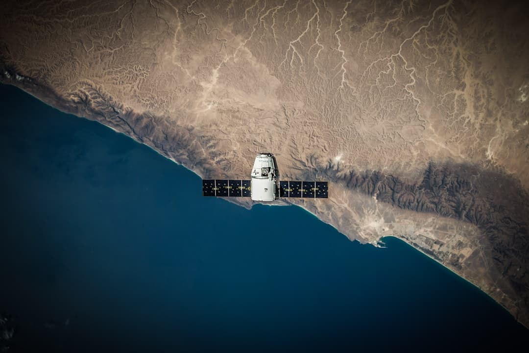
SatVu, the UK thermal imagery specialist, is releasing the first imagery from its latest LEO satellite, HotSat-2, which was launched in March 2026 , according to Electronics Weekly. Its mid Wave Infra-Red (MWIR) thermal imaging can provide temperature data of any structure on the planet in near real time , giving energy operators and intelligence agencies unprecedented visibility into global operations.
The latest examples show Cuba's experimental refining of domestic crude, because the country attempts to offset fuel shortages and external supply constraints , Electronics Weekly reported. The Cuba example illustrates this clearly, with thermal evidence captured 48 hours before public acknowledgment , according to the company.
This makes it possible to independently assess whether refineries and energy assets are active, idle, or operating at reduced capacity , the publication noted. For commodity traders, energy operators, intelligence agencies, and environmental regulators, this operational understanding directly informs commercial positioning, risk assessment, and strategic decision-making, with imagery showing the world's largest oil refinery at Reliance Industries Jamnagar Refinery, India, not running at full capacity .
Can Satellites Detect Ground Movement at Oil Fields?
Interferometric Synthetic Aperture Radar technology is proving essential for monitoring ground deformation caused by energy extraction and injection operations. Oil & Gas operations monitor ground deformation linked to extraction, injection, or storage activities to ensure pipeline stability and support compliance with HSE requirements , according to Sixense Group.
InSAR data show surface uplift up to 10 cm in the field between January 2007 and March 2011 at an enhanced oil recovery field in Scurry County, West Texas, where 100 million tons of supercritical CO2 have been sequestered since 1972 , according to research published in ScienceDirect. Observed ground uplift was mainly caused by CO2 injection , the study found.
InSAR provides millimetric precision with up to 1 mm/year and 2-3 mm precision on single measurement points, using a non-invasive system that is a remote solution without site intervention and free of maintenance , Sixense Group reported.
PS-InSAR technique can have a high potential for the optimized and simplified monitoring and risk management of ground deformations along pipelines, but the use of only this technique for the assessment of ground movement risks to petroleum and gas infrastructure needs to be carefully evaluated , according to research published in Taylor & Francis.
How Big Is the Commercial Satellite Imaging Market Getting?
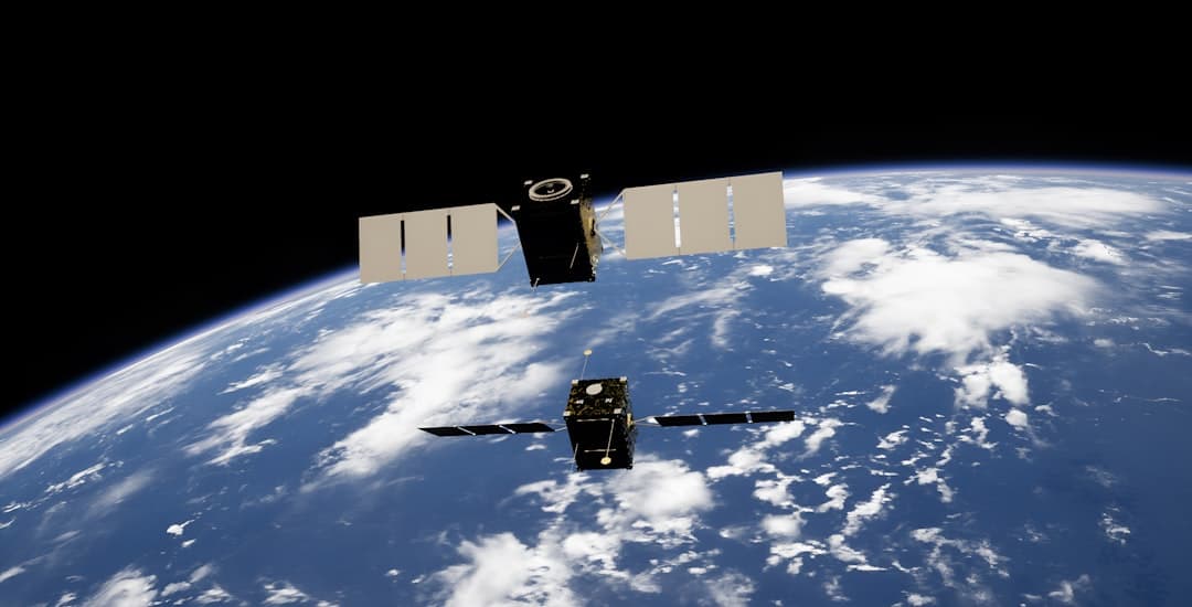
The commercial satellite imaging sector is experiencing explosive growth driven by defense, energy, and environmental applications. The Global Commercial Satellite Imaging Market Size is projected to grow from USD 15.17 billion in 2025 to USD 50.31 billion by 2035, at a CAGR of 12.74% during the forecast period 2026–2035 , according to Spherical Insights & Consulting.
China launched more than 120 remote-sensing satellites in 2025, bringing the number of civilian remote-sensing satellites in orbit to more than 640, continuing to rank second globally, with satellites enabling all-weather, round-the-clock Earth observation , the Xinhua News Agency reported, according to Global Times.
EarthDaily launched six satellites on May 3, 2026, delivering all to low Earth orbit, with telemetry confirming successful deployment, stable performance, solar array deployment, and power-positive status , according to a GlobeNewswire release. With an eighth satellite set to launch later this summer, EarthDaily is accelerating into its next phase: delivering a new standard for how the planet is measured , the company stated.
SkyFi announced a $12.7 million Series A funding round to expand access to satellite imagery and AI-powered geospatial analytics for defense, government, and commercial sectors including energy, finance, agriculture, and infrastructure , according to a January 2026 announcement.