Wednesday, May 20, 2026Vol. III · No. 140Subscribe
The Mining, Energy & Technology Wire
Mining · Analysis

Satellites Reshape Energy & Mining

NASA expands commercial satellite partnerships while hyperspectral imaging slashes mineral discovery costs by up to 85%, transforming how energy and mining companies monitor infrastructure and find resources from space.

Satellites Reshape Energy & Mining
PhotographNASA expands commercial satellite partnerships while hyperspectral imaging slashes mineral discovery costs by up to 85%, transforming how energy and mining companies monitor infrastructure and find resources from space.

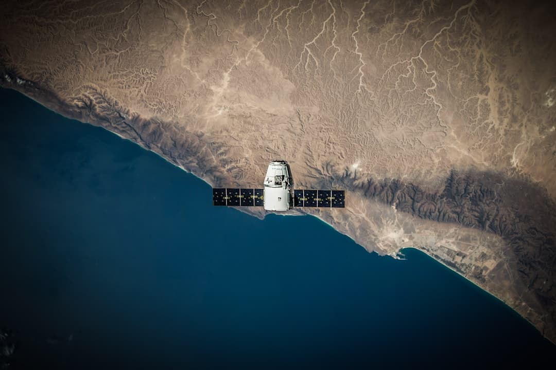
NASA's Commercial Satellite Data Acquisition (CSDA) program announced eight new agreements with seven of its commercial partners in January 2026 , marking a significant expansion in how government agencies and private industry collaborate on Earth observation. "These new agreements will provide users with a range of high-quality multispectral and SAR data that can be used in a variety of applications from environmental monitoring to surface deformation," said CSDA Project Manager Dana Ostrenga .

The CSDA program enacted three agreements with Planet, Airbus, and Vantor (formerly Maxar) to provide near-global multispectral and pan-sharpened electro-optical satellite imagery of nearly all global land and coastal surfaces, with spatial resolution of approximately 30 centimeters, 1 meter, and up to 10 meters . CSDA also executed five agreements for high-resolution SAR imagery with Capella, ICEYE, MDA, Umbra, and Airbus , addressing the growing demand for all-weather monitoring capabilities.

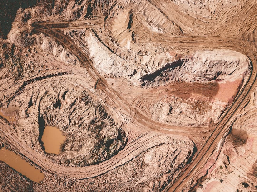
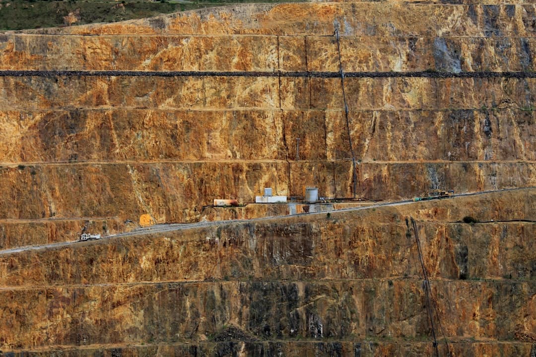
Can Satellites Really Cut Mineral Discovery Costs by 85%?

The answer appears to be yes, according to companies deploying hyperspectral imaging technology. Farmonaut claims its platform allows mining companies to screen vast areas for mineral potential in days, slashing traditional discovery timelines and costs by up to 80-85% . The technology works by analyzing electromagnetic energy reflected from Earth's surface. Every mineral—lithium, copper, gold, rare earths—leaves its mark in the hyperspectral data, letting companies spot even those hidden under a thin layer of vegetation or soil .

Satellite sensors have leaped to capturing over 400 narrow, contiguous spectral bands, vastly improving chemical and mineral detection , according to a March 2026 report from Farmonaut. This represents a dramatic improvement over conventional multispectral sensors. Hyperspectral Earth Observation has matured significantly in 2026, enabling identification of materials, vegetation health, water quality, and mineral composition at scale, proving critical for agriculture, mining, and environmental monitoring , according to Satpalda.

The EU Agency for the Space Programme supported pilot projects where Kuniko partnered with Poland-based EO analytics startup TerraEye to develop a remote sensing solution for prioritizing exploration targets, using Copernicus Sentinel-2 imagery in combination with other satellite data sources to detect spectral signatures of mineral deposits .

How Is InSAR Protecting Oil and Gas Infrastructure?

Interferometric Synthetic Aperture Radar (InSAR) technology has become essential for monitoring ground deformation around energy infrastructure. Rezatec's millimeter-accurate InSAR platform identifies subtle shifts in ground stability across multiple locations, eliminating the need for manual field inspections .

InSAR-based ground deformation monitoring uses radar satellite imagery to detect and measure subtle movements of the Earth's surface over time by analyzing the phase difference between multiple radar images taken from the same location in space at different times, enabling millimeter-level accuracy , according to Rezatec's technical documentation.

The technology has proven its value in real-world applications. InSAR data showed surface uplift up to 10 cm at an enhanced oil recovery field in West Texas between January 2007 and March 2011 , according to research published in the International Journal of Greenhouse Gas Control. French mining group Eramet collaborated with Italian remote sensing specialist Tre Altamira to improve space-based subsidence monitoring at active and legacy sites using Copernicus Sentinel-1 radar data and advanced InSAR techniques .

InSAR monitoring tracks ground deformation linked to extraction, injection, or storage activities in oil and gas operations, ensuring pipeline stability and supporting compliance with HSE requirements , according to Sixense Group.

What's Driving the Satellite Constellation Boom?

China launched more than 120 remote-sensing satellites in 2025, bringing the number of civilian remote-sensing satellites in orbit to more than 640, continuing to rank second globally , the Xinhua News Agency reported in February 2026. The satellites have enabled all-weather, round-the-clock Earth observation, with China's commercial remote-sensing satellite sector sustaining rapid growth and making significant progress in technological breakthroughs, constellation networking and application expansion .

The European Space Agency (ESA) plans 65 satellite launches and other missions throughout 2026, a roughly 30% jump from last year's record figure , Aviation Week reported in January. IRIDE satellite launches represent the bulk of ESA missions planned for 2026 .

Small satellite constellations are reshaping revisit frequency and coverage, with users now receiving multiple observations per day for the same location instead of waiting days or weeks for imagery, enabling daily global monitoring that supports agriculture, climate tracking, and security applications , according to Satpalda's February 2026 analysis.

In May 2026, Satellogic Inc. announced it entered into a multi-million-dollar agreement with an Asia Pacific customer, granting the customer fast and flexible access to task Satellogic's NewSat constellation, ensuring timely delivery of imagery for various uses , according to market research from Coherent Market Insights.

How Are LiDAR and Point Clouds Transforming Energy Infrastructure?

LiDAR technology is revolutionizing how energy companies monitor and maintain their infrastructure. By capturing millions of point cloud data points in seconds, LiDAR creates "point clouds"—detailed digital representations of physical spaces, consisting of light detection and ranging to generate point cloud data that offers highly accurate spatial data revolutionizing the way energy companies use terrain models to manage pipelines, facilities, and terminals , according to Cintoo.

BP has adopted LiDAR scanner data processing to optimize their infrastructure maintenance, reduce costs, and improve safety , the company reported in March 2025. "Colourized point cloud data greatly enhances our processing team's ability to validate classification results and simplifies the visualization of point cloud data for our stakeholders," said Carlos Prieto, vice president of programme management at Survtech Solutions .

In May 2026, Pixxel announced a strategic partnership with Sarvam, an Indian AI startup to develop and build India's first orbital data centre satellite, while Spanish energy firm Enagás signed an agreement with EO-based infrastructure monitoring solution provider Orbital Eye to deploy satellite-powered monitoring across its entire gas pipeline network in Spain , according to TerraWatch Space.

Are Space Mining Technologies Ready for Prime Time?

While asteroid mining remains largely aspirational, the technologies being developed are already benefiting terrestrial resource discovery. Terrestrial and extra-terrestrial mining methods and technologies are on the cusp of massive changes towards automation and autonomy for economic and safety reasons, and it is highly likely that these industries will benefit from mutual cooperation and technology transfer , according to NASA research.

China's Three-Body Computing Constellation includes two 8-billion-parameter AI models: one for remote sensing and one for astronomical time-domain analysis, ranking among the largest AI models currently operating in space , Orbital Today reported in February 2026. In November 2025, the remote sensing model conducted an infrastructure survey across 189 square kilometres in northwest China .

Satellite remote sensing is increasingly recognized as a critical tool for arms control and nonproliferation missions, with growing interest in leveraging artificial intelligence and machine learning to enhance analytical efficiency, though this integration introduces significant risks due to the susceptibility of AI models to counter-AI attacks , according to a May 13, 2026 analysis in the Bulletin of the Atomic Scientists.

What Changed This Week

The convergence of commercial satellite partnerships, advanced hyperspectral imaging, and AI-powered analytics is fundamentally reshaping how energy and mining companies discover resources and monitor infrastructure. NASA's expansion of commercial data agreements signals government recognition that private sector innovation has matured to the point where it can augment traditional Earth observation programs. Meanwhile, the dramatic cost reductions in mineral exploration—potentially 80-85% according to industry claims—are making satellite-based prospecting economically viable for projects that would have been prohibitively expensive just a few years ago. The technology is no longer experimental; it's operational and delivering measurable returns.

What to Watch

Axelspace's next-generation GRUS-3 satellite system, scheduled for launch in 2026, features extensive payload enhancements including a refined image sensor with a 2.2-meter panchromatic GSD and adds a Coastal Blue band aligned with Sentinel-2 multispectral bands for interoperability . NASA's two newly selected Earth System Explorers missions will advance to the next phase of development, with each mission subject to confirmation review in 2027 and a total estimated cost not exceeding $355 million with a mission launch date of no earlier than 2030 . The remote sensing satellite market will grow from $14.9 billion in 2025 to $16.5 billion in 2026 at a compound annual growth rate of 10.8% , according to market research published in March 2026. Energy companies should monitor how quickly orbital data centers mature, as this could fundamentally change satellite architecture by separating sensing from processing.

Coverage aggregated and synthesized from leading energy-sector publications. See linked sources within the article.

Share this story

More from Stake & Paper

Was this article helpful?

ClaimWatch

Mining claims intelligence — from query to report, in minutes.

Every unpatented mining claim across all twelve BLM states. Leadfile audits, due diligence, site selection, regional prospecting, entity investigations, and AOI monitoring — delivered as complete report packages.

4.4M+
Claims Tracked
12
BLM States
7
Report Types
Request a Sample Report
Stake & Paper AM

One morning brief. The whole energy sector.

Original analysis, the day's most important wire stories, and market data — delivered before your first cup of coffee. Free.