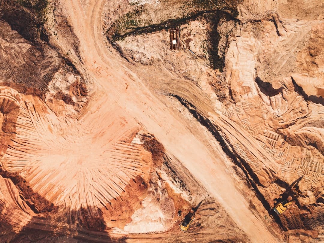
Hyperspectral satellites can distinguish up to 300 unique mineral types from orbit. That precision—unthinkable a decade ago—is rewriting the economics of mineral exploration just as demand for lithium, copper, and rare earths threatens to outstrip supply.
The technology works by measuring hundreds of narrow spectral bands reflected from Earth's surface, creating what industry specialists call a "chemical fingerprint" for each mineral deposit. Farmonaut, a satellite analytics firm, reports that mining companies using these tools can screen vast areas for mineral potential in days, cutting traditional discovery timelines and costs by 80 to 85 percent. Every mineral leaves a distinct mark in hyperspectral data, the company notes, allowing detection even beneath thin vegetation or soil cover. For an industry under pressure to feed the energy transition—electric vehicles alone require six times more minerals than conventional cars—the timing matters. Ground surveys are slow, expensive, and increasingly difficult to justify when a satellite pass can flag prospects before a single drill turns.
Can You Really See Lithium From Space?
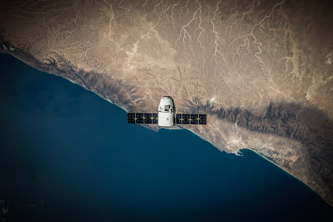
Yes, though not directly. Orbital Sidekick's GHOSt constellation captures data across multiple spectral bands from visible to shortwave infrared, according to Flypix.ai, enabling identification of mineral signatures, alteration zones, and pathfinder elements associated with deposits of gold, copper, lithium, rare earths, and battery metals. The platform supports remote reconnaissance over inaccessible terrain, reducing the need for initial ground surveys while highlighting prospects through reflectance variations invisible to standard multispectral sensors.
Esper, a hyperspectral satellite startup, raised $5 million in March to launch its fourth satellite in 2025, with four more planned for 2026, Metal Tech News reported. The company's EarthTones platform integrates directly with existing exploration software, making space-based insights immediately actionable for mining companies. Esper's focus on Australia's Northern Territory—which sits on significant deposits of critical minerals—illustrates the strategic calculus: find the metals before competitors do, and do it without the environmental disruption of speculative drilling.
Japan's Axelspace plans to launch up to seven next-generation GRUS-3 Earth observation microsatellites as early as July 2026 aboard a SpaceX Falcon 9, Digitimes reported on May 25. The launch reflects a broader trend: small satellite constellations are reshaping revisit frequency and coverage, with users now receiving multiple observations per day for the same location, according to industry analysis by Satpalda.
What Happens After You Find the Deposit?
The satellites don't leave. InSAR—Interferometric Synthetic Aperture Radar—has become the industry standard for monitoring ground deformation at active mines, detecting millimeter-scale movement that can precede catastrophic failures.
IonQ launched a commercial InSAR capability on May 4, providing automated, high-frequency monitoring of ground deformation from space, The Quantum Insider reported. The system enables millimeter-level measurement accuracy with a three-day revisit cycle using its SAR satellite constellation. A 2025 study over Mexico City measured deformation rates exceeding 70 centimeters per year using 18 acquisitions over seven weeks—a data density that would have required months under conventional approaches, according to IonQ.
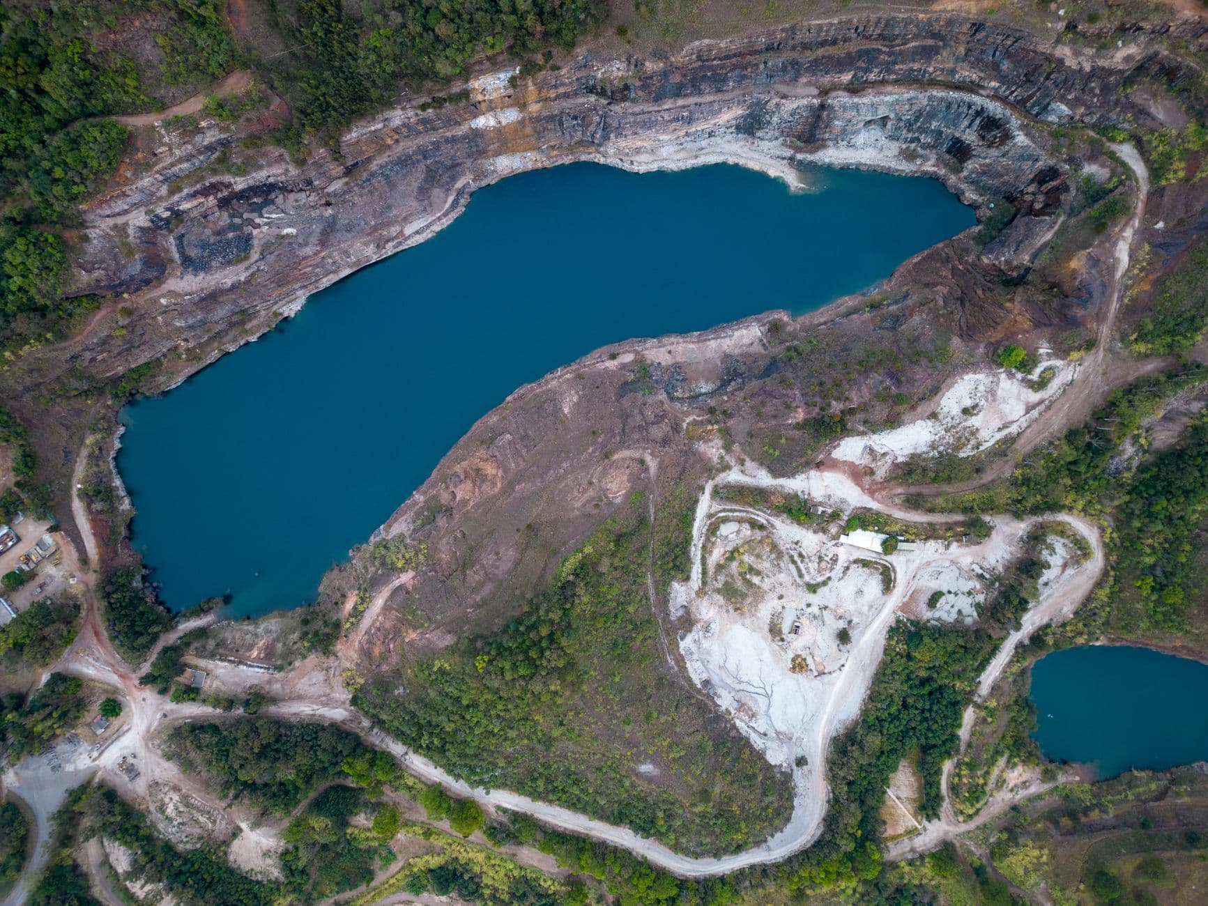
French mining group Eramet, the world's largest producer of high-grade manganese ore, partnered with Italian remote sensing specialist Tre Altamira to test space-based subsidence monitoring at active and legacy sites, the EU Agency for the Space Programme reported in March. Using Copernicus Sentinel-1 radar data and advanced InSAR techniques, the team detected millimeter-level ground movements across entire mining areas, providing early warning signals difficult to capture with localized sensors or field inspections alone. The pilot identified subtle movement patterns linked to erosion, stockpile settlement, and decantation pond consolidation. Monitoring around key tailings dams revealed no significant movements—precisely the kind of negative result that justifies the investment.
"Excited by the success of this proof of concept with EUSPA, we have demonstrated how we can use InSAR in our future operations to increase mining safety," Christophe Bessin, a data scientist at Eramet, told the agency. The company now plans to broaden InSAR application across its global operations.
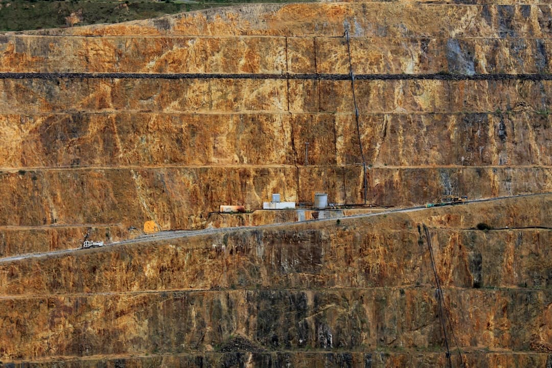
The challenge, according to a March 2026 study by Wang et al. in the International Journal of Applied Earth Observation and Geoinformation, is distinguishing routine deformation from precursors to failure. Large-scale mining operations cause enormous environmental change, which manifests as deformation in InSAR imagery. Only a small proportion leads to slope failures that result in high losses or damage. The study examined ten case studies worldwide, finding that precursory deformation was clearly visible before landslides occurred—but so was ongoing creep on slopes that never failed. Reliably detecting the difference remains a major challenge.