Mining · Analysis
Eyes in the Sky Hunt for Lithium
Hyperspectral satellites now map mineral deposits from orbit with 80% cost savings over traditional methods—just as the energy transition makes finding battery metals more urgent than ever.
Stake & Paper Editorial TeamJune 14, 2026
Mining companies can now screen vast areas for mineral potential in days, slashing traditional discovery timelines and costs by up to 80–85%
, according to Farmonaut, a satellite analytics platform. The technology arrives at a critical juncture:
minerals and metals such as nickel, cobalt, copper, and manganese are core elements in the manufacturing of electric vehicles and batteries, computer chips, solar panels and steel
, the EU Agency for the Space Programme notes. Yet finding them has never been harder—or more expensive.
By 2026, Earth Observation has evolved from a niche scientific discipline into a core pillar of global decision-making, with governments, enterprises, humanitarian organizations, and researchers now relying on satellite-derived intelligence to understand environmental change, manage resources, monitor infrastructure, and respond to crises in near real time
, industry analysts report. The shift is technical but consequential.
Unlike conventional multispectral sensors, which capture a handful of broad bands, hyperspectral satellites record hundreds of narrow, contiguous spectral bands—spanning from the visible to the shortwave infrared
.
Every mineral—lithium, copper, gold, rare earths—leaves its mark in the hyperspectral data, letting us spot even those hidden under a thin layer of vegetation or soil
, Farmonaut explains.
Can Satellites Replace Boots on the Ground?
Not entirely. But they can tell you where to send them.
Earth Observation analytics, in combination with geological knowledge, can increase the efficiency of early-stage mineral exploration, while operational safety and environmental protection rely on the ability to detect ground movement before it becomes hazardous
, according to pilot projects supported by the EU space agency.
French mining group Eramet collaborated with Italian remote sensing specialist Tre Altamira to improve space-based subsidence monitoring at active and legacy sites
.
The monitoring piece matters as much as the discovery.
InSAR (Interferometric Synthetic Aperture Radar) is a satellite-based remote sensing technique that detects ground surface movement with millimetre-level accuracy across areas spanning hundreds of square kilometres, analyzing phase differences between radar images acquired at different times to reveal subtle deformation patterns that no ground-based sensor could cover at equivalent scale or cost
.
Oil and gas operators monitor ground deformation linked to extraction, injection, or storage activities, ensuring pipeline stability and supporting compliance with HSE requirements
, according to Sixense, a monitoring specialist.
The energy sector has taken notice.
LiDAR technology plays a pivotal role in the energy sector by providing detailed spatial data that supports the planning, construction, and maintenance of energy infrastructure, with accurate 3D models generated from LiDAR data helping optimize project design and improve safety
, Fugro reports.
In the energy sector, point clouds are used for inspecting and maintaining critical infrastructure like power plants, oil rigs, and pipelines
.
What About the Orbital Traffic Jam?
As of June 1, 2026, there are currently 10,413 Starlink satellites in orbit, of which 10,397 are working
, according to astronomer Jonathan McDowell. That's just one constellation.
The world is witnessing an unprecedented surge in satellite launches, with about 10 times more satellites now active compared to a decade ago, mostly in low Earth orbit—the number of satellites active in 2014 was around 1,000, and by last year, that was close to 10,000
, the International Telecommunication Union reports.
SpaceX continues to dominate the launch cadence.
SpaceX confirmed the successful deployment of 24 Starlink satellites following today's launch from Vandenberg Space Force Base in California—the latest in a relentless cadence of constellation-building missions that has made Starlink the largest satellite network in history
, according to a June 11 report. The company also secured new government work:
The U.S Space Force has awarded SpaceX $4.16 billion to help the military track airborne targets using satellites
, Space.com reported on June 2.
But the commercial Earth observation market is where the real action sits for resource industries.
Commercial satellite operators such as Synspective continue to push spatial accuracy, while faster delivery pipelines enable same-day access for time-critical applications, and hyperspectral Earth Observation has matured significantly, enabling identification of materials, vegetation health, water quality, and mineral composition at scale—datasets proving critical for agriculture, mining, and environmental monitoring
.
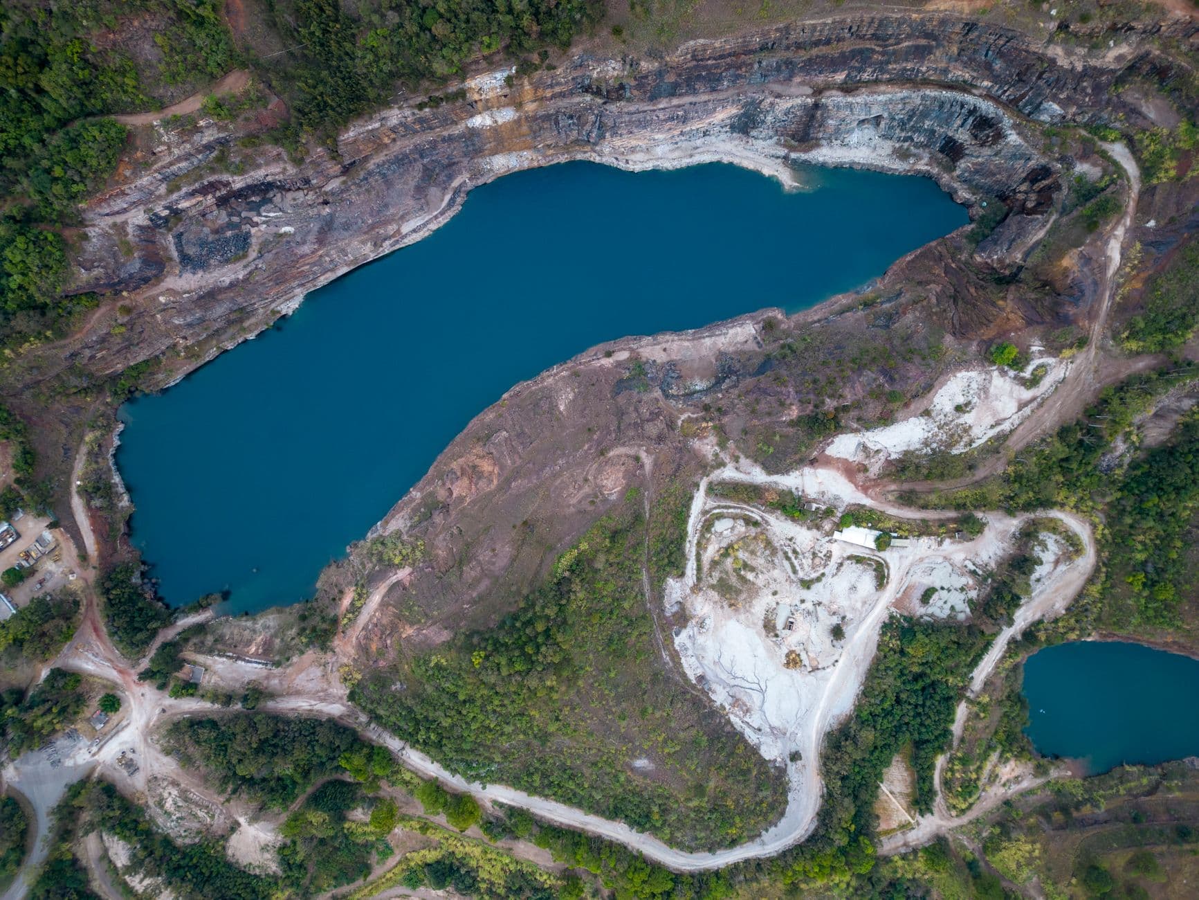
Mining operators now access 2.5m high-resolution imagery that integrates directly into GIS tools as analysis-ready data, removing the need for manual preprocessing, with monthly cloud-free imagery ensuring reliable monitoring of extraction and reclamation progress, even in cloud-prone tropical regions
, according to Nimbo, a satellite imagery platform.
What Changed This Week
SpaceX, the owner of the largest satellite fleet in orbit, announced that about 4,400 of the company's Starlink Internet satellites will move from an altitude of 341 miles to 298 miles over the course of 2026
—a reconfiguration focused on increasing space safety, the company said in January. The move reflects growing concern about orbital congestion. Meanwhile,
Algeria launched its Alsat-3A Earth observation satellite on January 15, 2026, designed to capture high-resolution images of Earth's surface for resource management and disaster response, developed through a collaboration between Algeria and China
. The democratization of space-based intelligence continues: more countries, more constellations, more data.
What to Watch
The space economy is projected to reach USD 1.8 trillion by 2035
, the ITU estimates. For mining and energy firms, the question is no longer whether to use satellite data—it's which constellation to task, which spectral bands to prioritize, and how to integrate the flood of imagery into existing GIS workflows.
Modern mining operations now integrate high-resolution satellite imagery, airborne gravimetry, LiDAR, and drone-derived topography for geological analysis and to identify alteration zones, structural controls, and mineralized trends
. The next frontier: real-time monitoring at scale, where satellites don't just find deposits—they watch them being extracted, track rehabilitation, and flag compliance risks before regulators do.