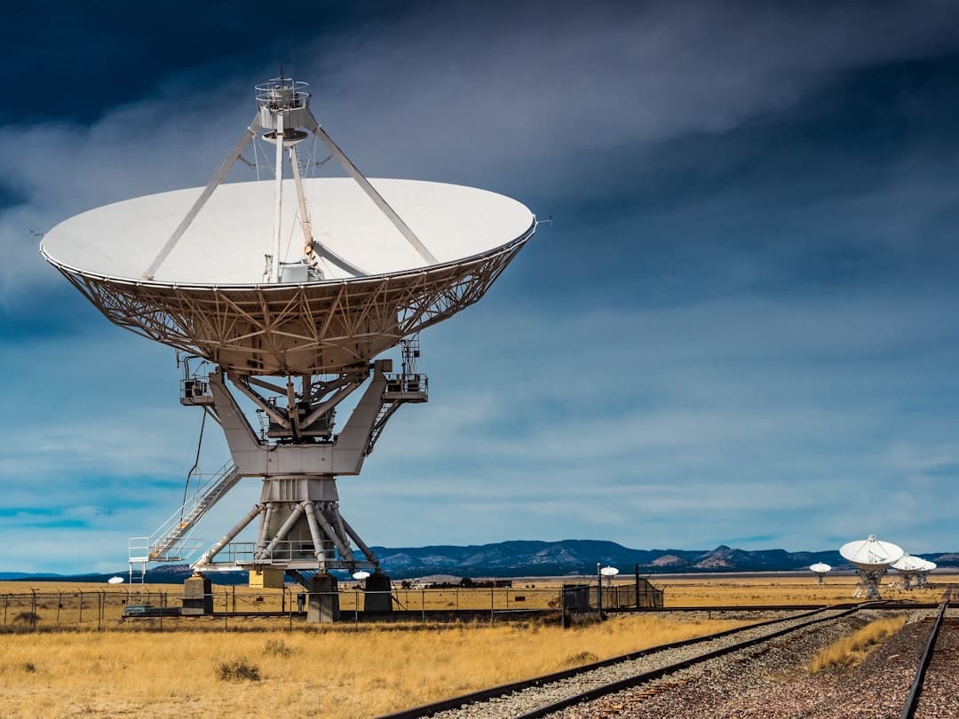
Seventy centimeters per year. That's how fast parts of Mexico City are sinking—a rate IonQ measured in just seven weeks using eighteen satellite passes, according to the company's May announcement. The quantum computing firm launched a commercial Interferometric Synthetic Aperture Radar (InSAR) service that detects millimeter-level ground deformation with a three-day repeat cycle, enabling customers to track physical changes on Earth's surface at a frequency and scale never previously available from a commercial SAR provider .
For mining companies managing tailings dams in remote locations and energy operators monitoring subsidence around extraction sites, the implications are immediate. IonQ's SAR constellation uses a unique orbital architecture in both mid-inclination and sun-synchronous orbits to deliver consistent acquisition geometry, enabling more accurate detection of surface movement over time and improved separation of vertical and horizontal motion for three-dimensional deformation analysis . The service targets infrastructure, energy, environmental monitoring, and national security applications—sectors where a few millimeters of movement can signal catastrophic failure weeks before it happens.
Can Satellites Replace Boots on the Ground?
French mining giant Eramet thinks so. The company, the largest producer of high-grade manganese ore worldwide, collaborated with Italian remote sensing specialist Tre Altamira in a pilot supported by the EU Agency for the Space Programme to improve space-based subsidence monitoring at active and legacy sites . Using Copernicus Sentinel-1 radar data and advanced InSAR techniques, the team monitored the entire mining area—including surrounding zones—and detected millimeter-level ground movements, providing early warning signals that would be difficult to capture with localized sensors or field inspections alone .
The results were delivered through an online platform that allowed Eramet to visualize ground behavior over time and flag areas requiring closer inspection. Detected movements were linked to processes such as erosion, ground settling from stockpiling, and decantation pond consolidation, while monitoring around key tailings dams revealed no significant or traceable movements . Christophe Bessin, Eramet's data scientist, told the EU agency the proof of concept gave the company confidence to broaden InSAR application across its operations.
But there's a catch. A 2026 study in the International Journal of Applied Earth Observation and Geoinformation warns that large-scale mining operations cause huge amounts of environmental change, which manifests as deformation in InSAR imagery . For InSAR to be useful, operators need to detect and analyze movement that differentiates between ongoing creep and incipient failure—analyzing slopes that have not failed, but which are creeping, is a key part of this . The technology sees everything. Distinguishing the signal from the noise remains a human problem.
What About the Minerals Themselves?
While InSAR watches the ground move, hyperspectral imaging is rewriting the mineral discovery playbook. Unlike conventional multispectral sensors, which capture a handful of broad bands, hyperspectral satellites record hundreds of narrow, contiguous spectral bands—spanning from the visible to the shortwave infrared—allowing extraction of detailed chemical and physical information from land, crops, forests, and mining prospects .
Hyperspectral satellites can distinguish up to 300 unique mineral types, according to Farmonaut, revolutionizing mining exploration and land management by 2026 . The company claims its platform allows mining companies to screen vast areas for mineral potential in days, slashing traditional discovery timelines and costs by up to 80–85% . Every mineral—lithium, copper, gold, rare earths—leaves its mark in the hyperspectral data, letting operators spot deposits even those hidden under a thin layer of vegetation or soil .
The European Commission is betting on the technology. In January 2024, the European Commission and the European Space Agency awarded Kuva Space a $5.3 million commercial contract to provide hyperspectral data services for the Copernicus program, making Kuva Space the sole provider of hyperspectral data services for the program . Kuva Space's constellation of 100 CubeSats aims to provide hyperspectral images of any location on Earth at visible-to-near infrared and visible-to-shortwave infrared wavelengths .