Tuesday, October 6, 2026Vol. III · No. 279Subscribe
The Mining, Energy & Technology Wire
Mining · Analysis

Mining's Data Problem Isn't Software

Esri's newest GIS release makes old maps cheaper to digitise, and the USGS has just shown how much untouched ground the archives describe. The bottleneck is whether anyone can trust the output.

Mining's Data Problem Isn't Software
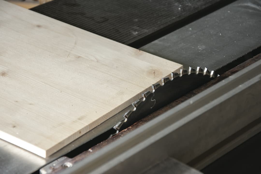
PhotographEsri's newest GIS release makes old maps cheaper to digitise, and the USGS has just shown how much untouched ground the archives describe. The bottleneck is whether anyone can trust the output.Photo: Ylanite Koppens / Pexels

On September 29, 2026, the USGS updated its database of known U.S. critical-mineral deposits. 412 of the 1,271 entries have documented resources and no production. The knowledge of where to look is already sitting in federal files. The cost of reading it has just dropped. What has not dropped is the cost of knowing whether the reading is right.

That is the argument here. ArcGIS Pro's latest tools cut the price of turning old geology into usable data. But the limiting factor for exploration is data readiness and human validation, not software, and the companies that treat it the other way round will buy faster tools and get faster mistakes.

What the software now does

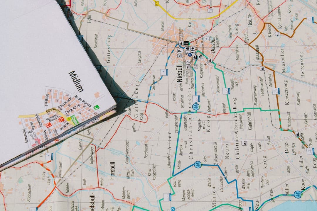
Esri's ArcGIS Blog, dated May 14, 2026, announced ArcGIS Pro 3.7 and its Extract Scanned Lines and Extract Scanned Polygons tools, which generate features automatically from scanned map images. Esri says the lines can capture things like elevation contours, rivers or soil boundaries, and the polygons things like land-use areas. Decades of paper survey work, in other words, can become layers a model can query.

The same release adds an Embeddings Based Analysis toolset. Esri says it turns imagery, geographic features and text into AI-generated vector representations, so patterns are easier to find. Its Find Similar Features tool is pitched at similarities that are subtle or hard to define from raw attributes. Open-source foundation models, including Prithvi EO 2.0, Clay, TerraMind, DOFA and DINOv2, plug into the Generate Embeddings tool.

Esri's ArcGIS Pro assistant, in beta since its June 24, 2026 AI assistants blog, can run common actions or generate ArcPy scripts and SQL query layers. Esri's own guidance on it is telling: it encourages customers to apply appropriate oversight. The vendor is not pretending the machine signs its own work.

The archive is the asset

Mining Weekly reported on June 26, 2026 that Botswana Minerals MD James Campbell, speaking at a Seequent event, saw a clear prize in old files. He said there is "huge opportunity to go in to look at some of those very, very old archives of data and realise value from it." He added that exploration is not just about deeper drilling but about better integration before drilling, and that AI could spot patterns in large, mixed geoscience databases that would take an army of geologists a considerable period to find.

The federal side of the ledger backs him. The USGS says it compiled the 1,271 deposits across 41 states and Puerto Rico to prioritise its Earth MRI surveys. The updated database adds nine of the 10 minerals added to the 2025 critical minerals list, among them copper, silver and uranium. Earth MRI works with 45 states plus academic and industry partners, and aims to assess domestic critical mineral resource potential by 2031. Through a NASA partnership, the USGS says, it has amassed the largest-ever trove of terrestrial hyperspectral data.

Capital is moving toward the metals regardless. Market data show COPX, the copper miners ETF, at $86.33 at Monday's close, against $59.81 in September 2025. Campbell's complaint is that the money has not followed into exploration, even though the world needs copper and critical minerals. Our own ClaimWatch data show prospectors still staking ground.

Where the human comes back in

ClaimWatch data show 6,758 new federal claims located in May 2026, the latest settled month, after 5,111 in April. Stakers are acquiring land faster than anyone can verify what the old maps say about it.

Here the software hits its limit. Esri's Kahrhoff wrote that mining companies are actively looking for ways to implement AI, but data readiness remains one of the largest hurdles. A tool that extracts contours from a scan produces features. Whether those features are georeferenced correctly, consistent with a neighbouring map, or worth drilling on is a judgment call that sits with a geologist.

The USGS process shows the shape of the job. Its aircraft instruments capture "spectral fingerprints" that scientists analyse to identify minerals. The last step, USGS says, is ground-truthing: examining rocks in prospective areas detected from the edge of space. Esri's own workflow guide describes prospectivity as weighted models that output ranked targets with uncertainty notes. The notes are the point. Version 3.7 even lets users attach descriptive notes to geoprocessing history, so the history shows what was run and why.

The case against

The counter-argument is that validation is itself a software problem. More than 100 pretrained models, per Esri's Q2 2026 AI blog, and embeddings that find look-alikes could shrink the human role to sign-off. Stantec's Alex Harrison showed at Esri UC 2026 deep learning models counting trees and monitoring landslides with significantly greater consistency than manual sampling. That is a real gain, and it will spread.

But consistency is not the same as correctness on a geological interpretation, and the evidence outside mining is sobering. A column in IEEE Spectrum, citing a 2025 MIT Media Lab Project NANDA report, put enterprise generative-AI investment at an estimated $30 billion to $40 billion. Most organisations had not shown measurable profit-and-loss impact, and only about 5 percent of integrated pilots were creating substantial value. That is not a mining figure. It is a warning about what happens when tools arrive before the data and the discipline do.

Freeport-McMoRan's award-winning rebuild of its Townsite Information & Assessment system, per Esri, followed decades of fragmented records after a major acquisition. The company had to fix the records before the software could help.

What follows

If this reading is right, the winners of the archive rush will be decided in the unglamorous work: cleaning scans, reconciling map projections, documenting every model run. Campbell expects AI-assisted prospectivity modelling to become the norm, and says the winners will provide "best data discipline, geological judgment and execution capability." The software is the part everyone can buy.

USGS geologist Erik Tharalson, checking a hyperspectral anomaly that could point to a porphyry copper deposit, put the stakes of the final step plainly: "the minerals in it would be easy to miss."

Original reporting and analysis by the Stake & Paper editorial team. See linked sources within the article.

Share this story

More from Stake & Paper

Was this article helpful?

ClaimWatch

Mining claims intelligence — from query to report, in minutes.

Every unpatented mining claim across all twelve BLM states. Leadfile audits, due diligence, site selection, regional prospecting, entity investigations, and AOI monitoring — delivered as complete report packages.

4.4M+
Claims Tracked
12
BLM States
7
Report Types
Request a Sample Report
Stake & Paper AM

One morning brief. The whole energy sector.

Original analysis, the day's most important wire stories, and market data — delivered before your first cup of coffee. Free.