Sensors provide the eyes and ears of the modern mine, according to Michael Curtis, Head of Upstream Technology at De Beers. But here's the catch: if the sensing layer is unreliable, every automated decision built on top of it becomes suspect. That principle—get the sensing right first, then automate—sits at the heart of a broader challenge facing energy and mining operations as they race to digitize infrastructure. The tools to visualize and analyze spatial data have never been more powerful. The data feeding them? That's another story.
Esri released ArcGIS Pro 3.7 in May 2026, introducing capabilities that reduce the need to duplicate maps, provide earlier insight into potential performance issues, and speed up many common workflows . In layouts with multiple map frames pointing to the same map, users can now turn layers on and off by map frame without impacting the others —a seemingly minor update that eliminates hours of redundant work for analysts juggling regional context maps alongside detailed infrastructure views. The release also introduced file knowledge graphs, allowing users to create and manage knowledge graphs in ArcGIS Pro in a local folder without needing ArcGIS Enterprise . For energy companies managing relationships between spatial and non-spatial data—say, linking pipeline segments to maintenance records and regulatory filings—that's a step toward making complex systems legible.
But the real action is in what happens when geospatial workflows collide with the physical world. ArcGIS Pro 3.7 includes increased configurability for preparing spatial representations of BIM data in scenes, with new capabilities that reduce the effort needed to make use of engineering content in geospatial analysis . The release expanded support for Revit content, allowing representation of piping systems as linear feature classes and enabling users to directly access linear features for pipes, fittings, accessories, and flex pipes from Revit files . That matters for utilities trying to operationalize as-built data from construction projects—turning static engineering drawings into live, traceable assets in a GIS environment.
Can You Automate What You Can't See?
Curtis at De Beers is blunt: "Previously, companies invested heavily in software and control systems, but the underlying sensing layer was unreliable. When the inputs are wrong or unstable, every automated decision based on them becomes suspect" . Upstream Technology's philosophy is to first get the sensing right and build automation on top of that, with advanced analytics or artificial intelligence added only after those two layers are stable .
Through-belt XRT sensors enable the mine to measure diamond and ore properties accurately, continuously and in real-time, maximizing efficiency and stability . The same logic applies to utilities. IQGeo's AI-powered geospatial software mobilizes data from GIS and enterprise asset management systems into an application that works both online and offline, but many utilities are already taking hundreds or thousands of images of their assets during inspections or outages and failing to effectively leverage the data in those images , according to Adrian McNulty, Vice President of Utility Solutions at IQGeo, speaking at DTECH 2026 in San Diego.
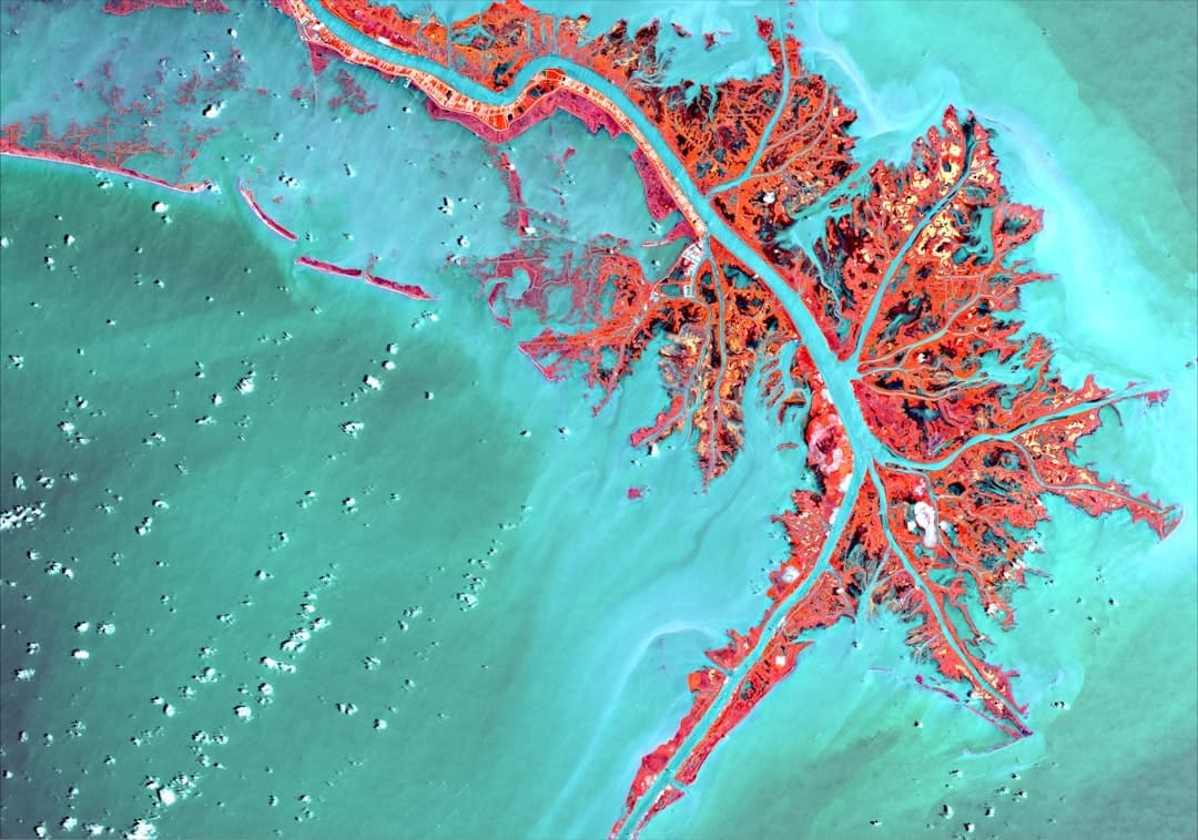
The gap isn't technology—it's integration. Incorporating geospatial data in mining operations and understanding patterns and relationships within complex datasets in a geographical context can lead to a 10-15% reduction in exploration costs , according to Mining Review. GIS integrates geological data, satellite imagery, topographic maps, and other geospatial data into a single platform, enabling exploration teams to identify areas with the highest potential for discovery by overlaying geological maps with geophysical and geochemical survey data . But that only works if the underlying sensor data—whether from drones, satellites, or ground-based instruments—is accurate and consistently formatted.