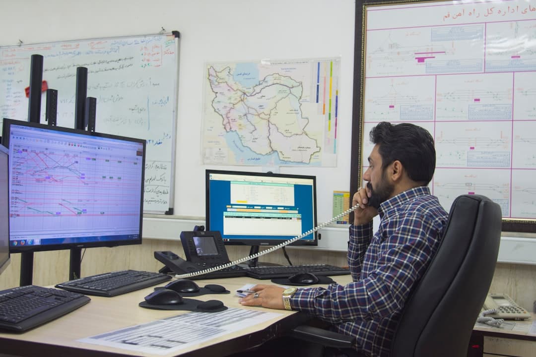
Energy Transfer manages 140,000 miles of pipeline across 44 states . Ask its new AI agent where the nearest field office is to a Texas compressor station, and it geocodes both locations, calculates the route, estimates travel time, and finds every facility within 50 miles—all without opening a GIS interface. "If you can think of a question to ask, ask it," David Nemeth, the company's senior director, told attendees at the Energy Resources GIS Conference in Houston this spring, according to Esri.
The shift is bigger than a chatbot. The 2026 Energy Resources GIS Conference brought together geospatial professionals from oil and gas, pipeline, and renewables for three days of sessions , and the dominant theme wasn't new satellite imagery or better drones—it was agentic AI. Esri's new ArcGIS MCP server, releasing later in 2026, makes any agentic framework spatially aware , turning geographic information systems from specialist tools into enterprise-wide infrastructure that business users can query in natural language.
Can Non-Experts Actually Use GIS Now?
For 36 years, GIS in energy has been the domain of trained analysts who know how to write SQL queries and navigate ArcGIS Pro. Chevron's Geospatial AI Hub applies AI agents to MapHub, its enterprise GIS platform, with the goal of reaching the 80 percent of the organization that never opens ArcGIS, said Steve Huerta, Chevron's product manager for Enterprise Geospatial: "I'm not after the GIS professional. I'm after that business consumer who doesn't have any experience using ArcGIS Pro."
The technical breakthrough is the Model Context Protocol (MCP), a standardized interface that lets AI agents invoke GIS tools, query spatial data, and return results without requiring users to understand the underlying commands. Through MCP, third-party AI agents connect to spatial data and tools in ArcGIS, providing a standardized way for agents to call ArcGIS capabilities and return spatially grounded results , Esri explained in a recent blog post.
Chevron's platform was built by a small team using AI for coding and solution development—work that a year ago would have required four or five full-stack engineers across months of development , Huerta noted. That compression of development time is itself a signal: the tools to build geospatial AI are accelerating faster than the AI itself.
What's Driving the Urgency?
Renewable energy siting. REST®, a geospatial intelligence platform from Zero Emission Grid, integrates more than 200 data layers, enabling developers to evaluate solar, wind, and other renewable energy opportunities and combine resource maps, infrastructure insights, and environmental considerations , according to the company. Nearly 80 percent of projects in the interconnection queue do not make it to commercial operations , Enverus reported, making site selection the difference between a viable project and a stranded asset.
Traditional GIS workflows can't keep pace. Despite the central role GIS plays in infrastructure, the software landscape has remained largely unchanged since the 1980s, with legacy platforms struggling to keep pace with the explosion of real-time data and cross-functional collaboration needs , according to Energize Capital, a climate-focused venture firm. Next-generation GIS tools will accelerate renewable project development cycles, improve grid planning and optimization, and enhance disaster response coordination , the firm noted in a May 2025 analysis.
Satellite and drone data are flooding in. Energy and utilities represent the largest end-user group for drone LiDAR corridor mapping, with utility companies adopting drone LiDAR solutions to enhance efficiency, safety, and reliability of power line and pipeline inspections, enabling them to rapidly collect high-precision data over extensive networks , according to a 2025 market research report. Trident Industries reduced mission planning time by 70 percent and field execution time by 30 to 40 percent when mapping transmission lines across Missouri and Illinois by switching to automated corridor tools , according to a 2026 drone mapping guide.
Machine learning is now detecting oil and gas infrastructure automatically. A novel deep learning architecture processes high-resolution 30-centimeter satellite imagery from Maxar to identify facility outlines and key on-site equipment , researchers reported in a study published in International Journal of Applied Earth Observation and Geoinformation in October 2025. The deep learning approach on freely available, high-resolution satellite imagery automatically maps well pads and storage tanks, validated in the Permian and Denver-Julesburg basins , according to a Nature Communications paper from August 2024.