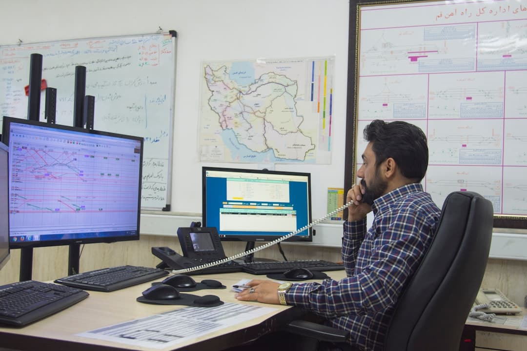
Esri released ArcGIS Pro 3.7 this week, introducing customizable toolbars and performance improvements that energy companies are already testing for pipeline mapping and infrastructure management workflows. The May 2026 release moves the application to .NET 10 while remaining a minor release compatible with all ArcGIS Pro 3.x versions , according to Esri's official announcement.
The update introduces Analyze Map functionality, which surfaces potential performance issues and suggested fixes for geospatial datasets—a capability that could prove valuable for energy operators managing massive pipeline networks and asset databases. Users can now tailor toolbars to include the tools and actions they use most frequently , cutting down on repetitive navigation in field data collection and inspection workflows.
The timing aligns with growing adoption of GIS technology across the energy sector. The Esri Energy Resources GIS Conference runs May 18-20, 2026 in Houston, Texas, exploring new ways to use GIS for crucial business decisions across the oil and gas, renewable energy, and pipeline sectors , according to Esri's event page.
Can Legacy Infrastructure Keep Pace With Modern Workflows?
Geospatial software first emerged in the 1980s to support location-based analysis, but for decades it remained largely limited to desktop systems used by technical specialists , according to an analysis from Energize Capital. Despite the central role these systems play in infrastructure, the software landscape has remained largely unchanged since the 1980s, with legacy GIS platforms struggling to keep pace with the explosion of real-time data .
Through tools like GIS, satellite imagery, and drones, geospatial technology provides accurate spatial data that improves infrastructure development, energy distribution, environmental monitoring, and sustainability practices , according to Fulcrum's analysis of the energy sector. Precision technologies—spanning remote sensing, UAVs/drones, and GIS—are accelerating field data collection and site monitoring for oil, gas, land, agriculture, and forestry , according to Farmonaut's 2026 technology trends report.
The ArcGIS Pro 3.7 release addresses some of these modernization pressures. ArcGIS Pro map files and layout files now have increased drawing speed and responsiveness, meaning they can be imported significantly faster , Esri reported. LAZ file performance was improved with the ability to generate statistics and create a spatial index, and to decompress LAZ files in parallel, while deleting features in a relationship class is now faster .
What's Driving Energy Companies to Upgrade Their Mapping Systems?
Pipeline operators face mounting regulatory pressure to maintain accurate spatial records. GIS technology is important for pipeline management in the oil and gas sector as it helps detect leaks, corrosion, and pressure anomalies, ensure pipeline safety, reduce environmental risks , according to SCS Tech India's analysis.
Microsoft's Planetary Computer Pro is a cloud-native platform that enables organizations to ingest, manage, and analyze their private geospatial data, securely, at scale, and in ways that integrate naturally with Azure, Microsoft Fabric, Microsoft Foundry, and partner solutions such as Esri , according to a March 2026 blog post from Microsoft. By treating geospatial data as a first-class input to AI and analytics, Planetary Computer Pro helps organizations move from static maps and point-in-time analysis to continuously updated spatial workflows .
Dymaptic builds ArcGIS-integrated applications and geospatial AI tools that help organizations track assets, manage compliance, and make better decisions across the full energy lifecycle, from traditional pipeline infrastructure to renewable energy development , according to the company's website. Dymaptic builds GIS applications for pipeline operators that integrate inline inspection data, cathodic protection records, and risk models into spatial workflows for integrity management and regulatory reporting .
The Canadian government's recent pipeline announcement underscores the infrastructure build-out ahead. According to OilPrice.com, the Canadian government and Alberta reached a carbon pricing deal that could finally move a long-discussed West Coast oil pipeline from perpetual Canadian debate into actual construction, with a start date now penciled in as early as September 2027 . Projects of that scale require sophisticated geospatial planning from day one.