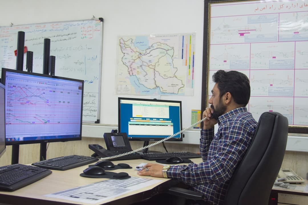
Energy Transfer operates 140,000 miles of pipeline across 44 states. Ask its GIS system where the nearest field office is to a midstream facility in West Texas, and it will geocode both locations, calculate the route, estimate travel time, and identify every office within a 50-mile radius—all in plain language, no SQL required.
The company applies AI agents across its entire network, drawing on GIS records, engineering documents, and live regulatory sources to answer questions without requiring users to touch a GIS interface , according to Esri. That shift—from geospatial as a specialist's tool to geospatial as an invisible layer powering everyday decisions—defined the conversation at the 2026 Energy Resources GIS Conference in Houston this spring. The event brought together geospatial professionals from oil and gas, pipeline, and renewables for three days of sessions and technical deep-dives , Esri reported.
Can a Non-Expert Use Enterprise GIS?
Chevron's Geospatial AI Hub applies AI agents and a spatial skills framework to MapHub, the company's enterprise GIS platform, with the goal of reaching the 80 percent of the organization that never opens ArcGIS , Esri noted. Steve Huerta, Chevron's product manager for Enterprise Geospatial, detailed how the company is creating a standardized approach to managing 22TB of imagery already processed, with an anticipated 39TB more to come, leveraging the SpatioTemporal Asset Catalog (STAC) standard to align with industry practices .
STAC—a specification for organizing geospatial metadata—has become the connective tissue for energy companies drowning in drone footage, satellite imagery, and LiDAR scans. The standard aims to standardize how geospatial asset metadata is structured and queried, covering sources from aircraft and drone to data such as hyperspectral optical, synthetic aperture radar, point clouds, lidar, and digital elevation models , according to the Open Geospatial Consortium.
The payoff is interoperability. Chevron's platform creates interoperability between ArcGIS and other tools while maintaining data lineage, Esri reported. For an industry that has historically locked spatial data in proprietary silos, that represents a quiet infrastructure revolution.
At BP's Whiting refinery near Chicago, the transformation was more visible. The firewater system was managed on paper maps with pins , Esri noted. The shift to digital GIS required five months and customized training by country, role, and language. After hands-on sessions, 76 percent of trained users described themselves as excited or more excited about the platform, having discovered capabilities they hadn't imagined .
Where Are the Drones Going?
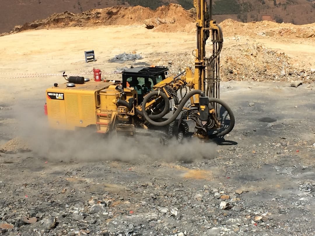
Above the Permian Basin, a different kind of geospatial shift is underway. Shell Pipeline Company deployed Intelligent Energy's IE-SOAR 2.4 hydrogen fuel cell system on a Harris Aerial H6 drone to conduct pipeline inspection flights , according to Intelligent Energy. Hydrogen fuel cells have significantly higher energy density, which means UAVs can fly for hours rather than minutes on a single mission .
The economics are compelling. Drone energy solutions can survey power lines, pipelines, and wind turbines in a fraction of the time it takes ground crews, lowering labor expenses, cutting unnecessary downtime, and providing a swift return on investment , according to Advexure. Inspection drones equipped with thermal, LiDAR, or high-resolution RGB sensors detect issues like panel hotspots or corroded infrastructure before they escalate, with real-time analytics helping teams pinpoint concerns early .
The data these drones collect feeds directly into GIS platforms. Equipped with advanced thermal, RGB, and LiDAR sensors, drones provide high-resolution imagery and 3D models, enabling precise detection of leaks, corrosion, cracks, and anomalies , Advexure reported. Acecore's drones are fully modular, allowing seamless integration of leading payloads including RIEGL LiDAR, Workswell thermal imagers, Sony optical cameras, and MicaSense multispectral systems .
For satellite monitoring, the stakes are higher. A novel deep learning architecture processes high-resolution 30 cm ground sample distance, 3-band, pansharpened, visible-spectrum satellite imagery from Maxar to identify facility outlines and key on-site equipment , according to research published in ScienceDirect. The Alberta Wells Dataset contains information on over 200,000 abandoned, suspended, and active onshore oil and gas wells with high-resolution satellite imagery , researchers reported in a February 2025 paper.
The application extends beyond inspection. GHGSat Inc. has developed a tiered top-down remote sensing approach utilizing satellite and airborne instruments to monitor methane emissions from industrial sites globally, demonstrated in the Permian basin for detecting and quantifying methane emissions from oil and gas facilities , according to research in The Leading Edge.