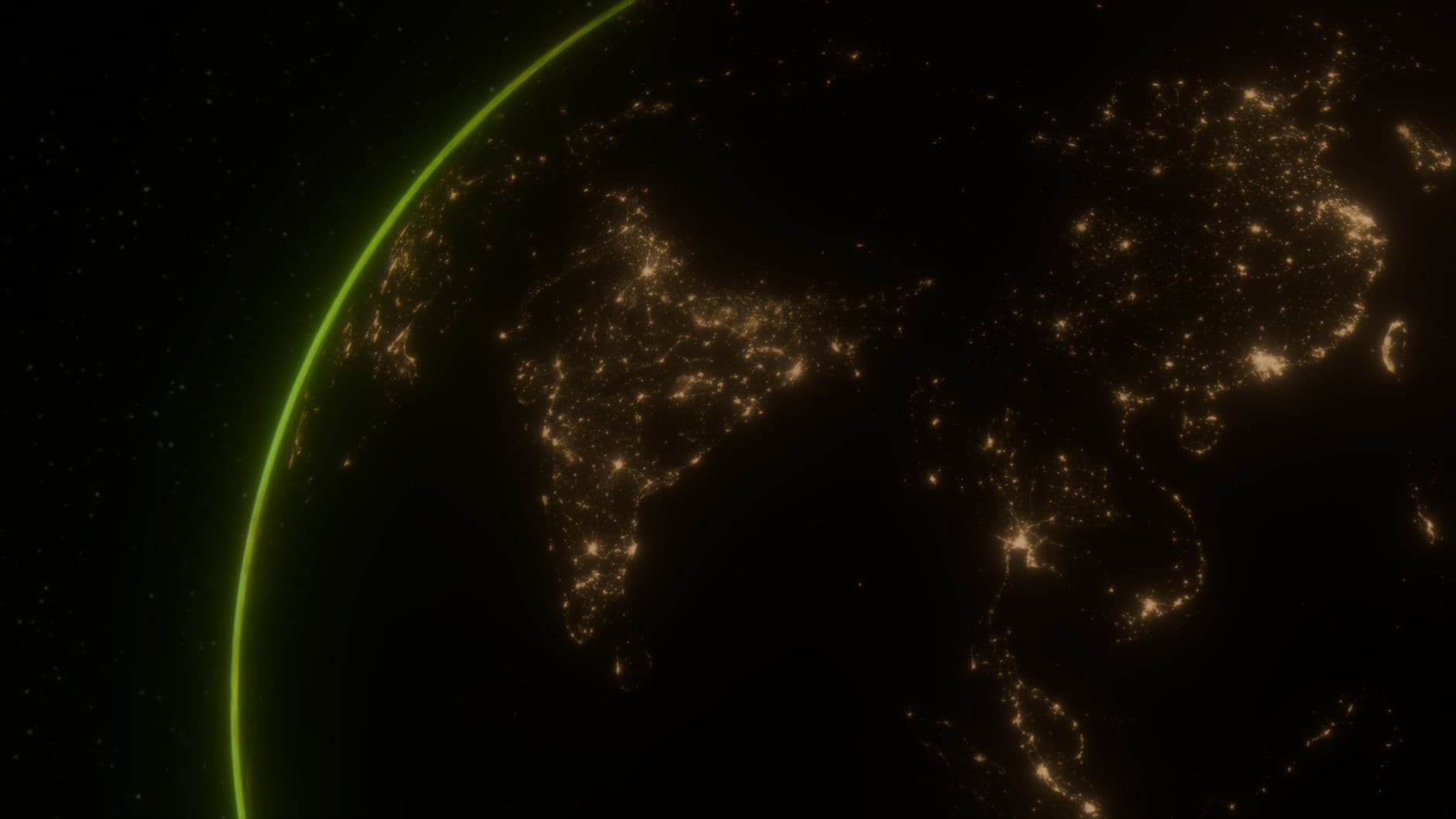
Mining companies can now screen vast areas for mineral potential in days, slashing traditional discovery timelines and costs by up to 80–85% , according to Farmonaut. The company isn't exaggerating. Earth Observation has evolved from a niche scientific discipline into a core pillar of global decision-making, with governments, enterprises, and researchers now relying on satellite-derived intelligence to manage resources and monitor infrastructure in near real time , Satpalda reported in February.
What changed? The sensors got better and the satellites got cheaper. Hyperspectral satellites now record hundreds of narrow, contiguous spectral bands—spanning from the visible to the shortwave infrared —creating what industry insiders call a "spectral fingerprint" for every square meter of Earth's surface. Every mineral—lithium, copper, gold, rare earths—leaves its mark in the hyperspectral data, letting operators spot deposits even when hidden under thin vegetation or soil , Farmonaut noted.
Pixxel, an India-based startup, signed pre-launch agreements with more than 50 customers spanning agriculture, oil and gas, mining, and climate monitoring before its first commercial satellites even reached orbit. The company's Firefly satellites operate at 550 km altitude, delivering 5-meter ground sampling distance across a 40-kilometer swath with more than 135 hyperspectral bands, enabling daily global revisit , according to eoPortal. That revisit frequency—once every 24 hours for priority targets—is the operational breakthrough. Traditional mineral surveys required months of fieldwork and millions in upfront capital. Now exploration teams task a satellite, receive processed data within 48 hours, and redirect drilling budgets accordingly.
Can You Really Find Gold From Space?
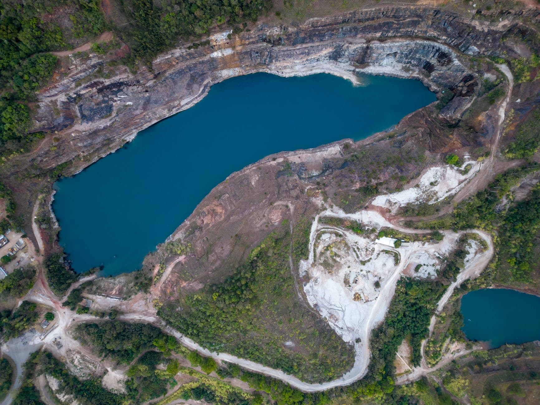
Yes, but not the way most people think. Earth Observation analytics, in combination with geological knowledge, can increase the efficiency of early-stage mineral exploration , the EU Agency for the Space Programme reported. Norway-based Kuniko partnered with Poland's TerraEye to develop a remote sensing solution for prioritizing exploration targets using Copernicus Sentinel-2 imagery . The pilot detected spectral signatures of mineral deposits and identified vegetation stress patterns near legacy mining zones—clues invisible to the naked eye but obvious in shortwave infrared.
McElhanney verified the use of LiDAR bare-earth digital elevation models for lineament and fault identification in a gold mining district of British Columbia, where surface lineaments—sometimes just half a meter wide—may extend for hundreds of meters in length , Leica Geosystems reported. These linear features, associated with subsurface faults and fractures, are nearly impossible to spot from ground level but jump out in airborne laser scans that strip away vegetation digitally.
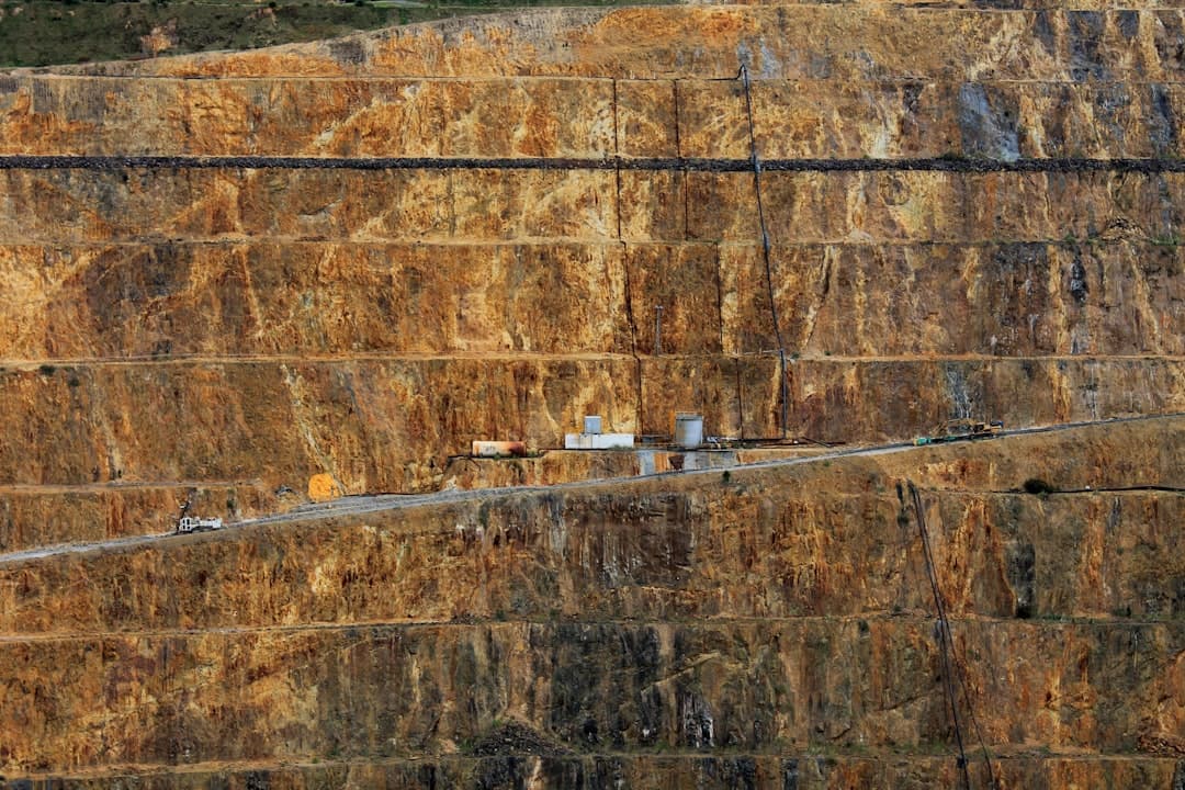
The European Space Agency went further. French mining group Eramet, the largest producer of high-grade manganese ore worldwide, collaborated with Italian remote sensing specialist Tre Altamira to improve space-based subsidence monitoring at active and legacy sites using Copernicus Sentinel-1 radar data and advanced InSAR techniques . InSAR—Interferometric Synthetic Aperture Radar—measures ground movement by comparing radar images taken days or weeks apart. Unlike conventional monitoring methods, InSAR requires no on-site instrumentation, operates in all weather conditions, and provides continuous spatial coverage rather than isolated point measurements , according to INSAR Corporation.
The technology has moved from experimental to operational. MicroVision reported accelerating commercial traction in industrial autonomy on April 22, 2026, citing revenue-generating shipments across hauling, mining, and autonomous trucking, with its Lidar 2.0 Iris sensor in field validation and production deployment, enabling long-range detection beyond 250 meters . MicroVision acquired Luminar's LiDAR business in January 2026 for $33 million, including patents related to the Iris sensor, after Caterpillar had signed a deal with Luminar in March 2025 to introduce LiDAR technology with Cat Command for hauling , International Mining reported.
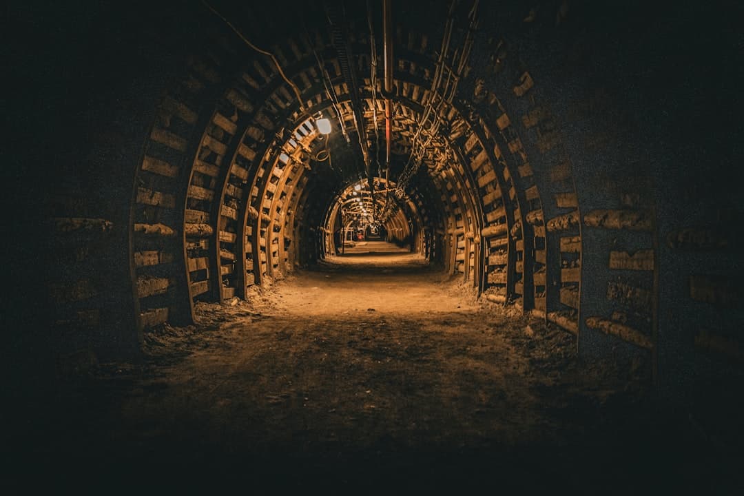
What Happens Underground?
The real shift is happening in places satellites can't see. Specialized lidar-equipped platforms are now navigating complex, GPS-denied underground environments without human pilots or pre-programmed flight paths, utilizing Simultaneous Localisation and Mapping algorithms that process up to 300,000 data points per second to create high-resolution 3D point clouds in real time , Lidar News reported in February.
The mining industry is shifting away from fragmented, siloed information toward "connected workflows" by integrating data from robotic total stations, drones, and terrestrial 3D laser scanners, with mine surveyors now pushing field data directly to the office in real time using cloud-based platforms to create a "common data environment" , according to GIM International. Subtle movements in a pit wall can be detected by comparing daily scan data before they become catastrophic failures, and the ability to instantly transmit this data means decision-makers can identify discrepancies between the "as-built" reality and the design plan immediately, preventing costly production halts that can run into millions of dollars per day .
The safety implications are significant. The technology allows for independent exploration of narrow passages, unstable slopes, and dust-filled voids that were previously inaccessible or too dangerous for manual surveying . Mithril Mining completed an advanced LiDAR survey at the historic Calvert Tungsten Mine on May 12, 2026, using a WingtraOne GEN II unmanned aerial platform equipped with LiDAR and high-resolution imaging sensors, with spatial accuracy achieved through a Post-Processed Kinematic workflow utilizing an on-site Topcon base station , the company announced in June.